TOPOGRAPHIC SURVEY
A topographic, or topographical, land survey shows the height, depth, size, and location of any manmade or natural features on a given parcel of land, as well as the changes or contours in elevation throughout the parcel. While boundary surveys focus on horizontal measurements, topographic surveys are about elevation. You will also hear these surveys referred to as “topo surveys” in related industries.
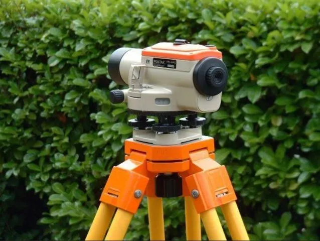 Digital Theodolite
Before a design for a construction or engineering project can begin, we need to fully understand the land’s topography. Depending on the specific parcel, there may be man-made and/or natural features that impact what you can build and how you go about construction. This is why topographic surveys are often the first step of a design process.
The duration of the process depends on the complexity of the terrain and the size of the area that will be surveyed, as well as whether the project entails urban or rural development. That said, it may take days, weeks, or even months to complete.
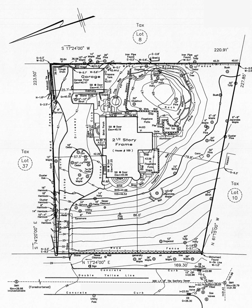 Topographical drawing
There are several types of survey services, including Aerial Mapping/Photogrammetry, Topographic Surveys, Utility Surveys, and Wetlands Surveys, to name a few. What the process entails depends on the specific type of survey; however, general steps include:
♠ Gathering the relevant information about the area (also refer to site surveys),
♠ Processing data,
♠ Preparing the final survey output,
♠ Delivering the final survey output by means of topographical drawings.showing boundary lines, buildings, structures, trees, water channels, obstructions, etc,
♠ Delivering the cross sections over the land, showing the land contours (height contours).
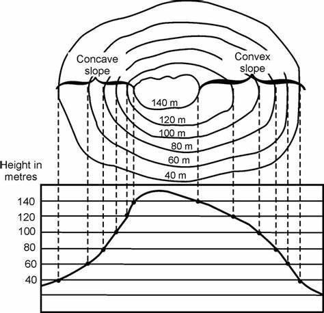 Height contour lines
NOTE: We will only carry out soil investigations for projects that include the supply of our prefabricated houses.